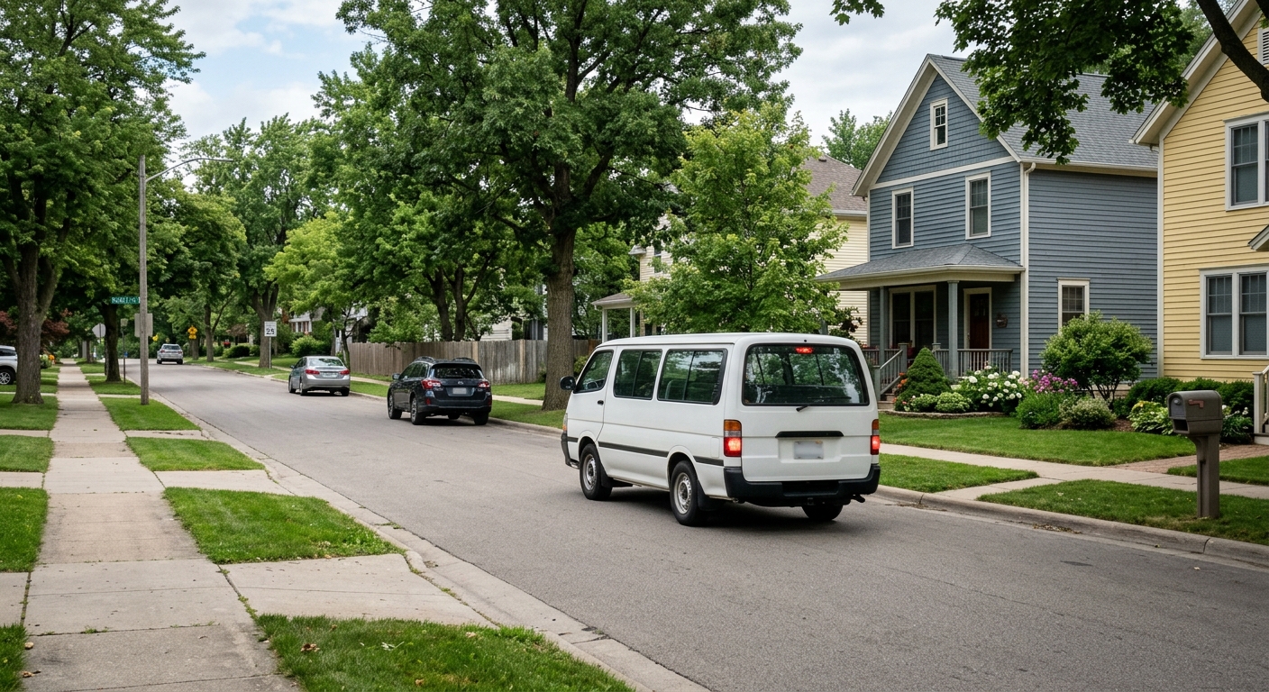
AI-generated illustration; not a photograph of the reported event.
- calendar_today October 25, 2026
Metro Micro Launches in Brooklyn Park
Metro Transit has introduced its shared on-demand ride service, Metro Micro, to Brooklyn Park this month. The service allows riders to easily arrange door-to-door transportation by using a dedicated app or by calling a dispatch number. Metro Micro aims to complement existing fixed-route bus service by connecting customers to areas not directly reached by traditional transit lines.
History and Growth of Metro Micro
First launched as a pilot in north Minneapolis in 2022, Metro Micro was designed to address the so-called "first- and last-mile" transit connection, helping passengers reach bus stops or destinations beyond the fixed routes. The program saw popularity in its initial service area, prompting Metro Transit to expand its reach within Minneapolis and later to suburbs including Bloomington, Blaine, Woodbury, and Roseville in 2025. An extension to Minnetonka is planned alongside the upcoming Southwest light-rail line opening in June, along with future service in northern Dakota County and Maplewood.
How Metro Micro Serves Brooklyn Park
In Brooklyn Park, the Metro Micro zone covers a large area, roughly bounded by Hwy. 252 and Noble Parkway on the east, 67th Avenue N. to the south, Jefferson Highway and Hwy. 169 on the west, and the Rush Creek Regional Trail to the north. The service uses small buses, similar to those used for Metro Mobility. Operating hours are 5:30 a.m. to 10:30 p.m. on weekdays and 7 a.m. to 10:30 p.m. on weekends. The standard ride fare is $2.50, with a $3.50 rate during peak periods.
Shared Ride Service Impact and Usage
Metro Transit data show that in the Minneapolis zone, riders take more than 300 trips per day on Metro Micro. System-wide, monthly ridership has exceeded 25,000 from March through August. John Harper of Metro Transit highlighted these figures at the October 12 Metropolitan Council Transportation Committee meeting, describing the growth as strong for the shared ride service.
According to senior transit planner Ben Picone, many rides begin or end at transit centers, reflecting the service's role in helping people reach or depart from existing bus or transit lines. For riders like Yolanda Brown, 56, of north Minneapolis, Metro Micro has been particularly valuable. Brown, who has neuropathy, explained that traditional suburban bus stops are often too far for her to access. She uses fixed-route transit to reach Brooklyn Park's Starlight Transit Center, then switches to Metro Micro to complete shopping and errands. "It works good for me," Brown said. "Without Micro, I would not get there."
MapQuest Adds License Plate Reader Locations to Navigation
In a related technology development, MapQuest now displays the locations of automated license plate readers and other surveillance cameras on its routes. This comes amid ongoing discussions and controversy about the prevalence of Flock cameras and other surveillance technology in various communities. Users can activate a surveillance tab in the MapQuest app to view camera locations from providers like Flock, Motorola Solutions (Vigilant), Genetec, Axis Communications, and several others. Animated eyes mark where such cameras operate.
MapQuest has not detailed how it sources this location data. Tech sites suggest the information may come from publicly available platforms and crowdsourcing, such as flockcameralocations.com and flocksurveillance.org. An example in Brooklyn Center showed the app accurately identifying some, but not all, current license plate reader locations, suggesting the tool offers general—but not comprehensive—awareness for concerned motorists.
Conclusion
Metro Transit's expansion of Metro Micro to Brooklyn Park extends flexible, on-demand transit options to more riders, supporting their ability to complete journeys outside the reach of traditional bus service. Meanwhile, navigation platforms like MapQuest continue to evolve, now providing information on surveillance cameras such as license plate readers along routes, offering additional transparency to travelers.
Source: startribune.com.